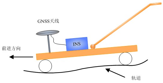
GNSS / INS integrated navigation data processing software V1.0 (hereinafter referred to as GINS1.0) is a set of independent research and development of GNSS / INS loose combination of data processing software. The software uses the local horizontal coordinate system as the reference coordinate system, using the equivalent rotation vector attitude updating, based on 21-dimensional error of the state vector is designed navigation kalman filter algorithm GNSS information and INS dead reckoning information integration. GINS 1.0 supports a variety of information about the subsidiary and reverse smoothing to improve navigation state observability, reduce dependence on GNSS information, improve and protect the position and attitude results of high precision and high reliability.