
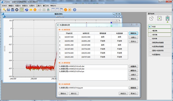
GNSS / INS integrated navigation data processing software V1.0 (hereinafter referred to as GINS1.0) is a set of independent research and development of GNSS / INS loose combination of data processing software. The software uses the local horizontal coordinate system as the reference coordinate system, using the equivalent rotation vector attitude updating, based on 21-dimensional error of the state vector is designed navigation kalman filter algorithm GNSS information and INS dead reckoning information integration. GINS 1.0 supports a variety of information about the subsidiary and reverse smoothing to improve navigation state observability, reduce dependence on GNSS information, improve and protect the position and attitude results of high precision and high reliability.
The main function of GINS1.0
■ data is automatically scanned data intelligent judgment (check the data length, whether the number of lost data, etc.);
■ supports several typical IMU (including navigation level, tactical level and MEMS etc.) precision index parameter is automatically set;
■ A variety of initial alignment mode, the user can appropriately according to their initial alignment test conditions, but also has the automatic mode;
■ Support INS independent solver;
■ Supports zero velocity correction, odometer information, non-integrity constraints and other information assistance, guarantee GNSS positioning in poor signal or loss of lock situation Attitude precision;
■ extended Kalman filter (EKF) multi-information data integration;
■ with RTS reverse smoothing function.
Wuhan MAP Space Time Navigation Technology co., LTD All Rights Reserved.
Add:Building D2,WuDaHangYu,No.7 Wudayuan Rord,Wuhan East Lake High-tech Development Zone,Wuhan,Hubei,P.R.C,430200
Tel:+86-27-87378695 Management
E-mail:office@whmpst.com 鄂ICP备2024079892号-1